Background
Introduction
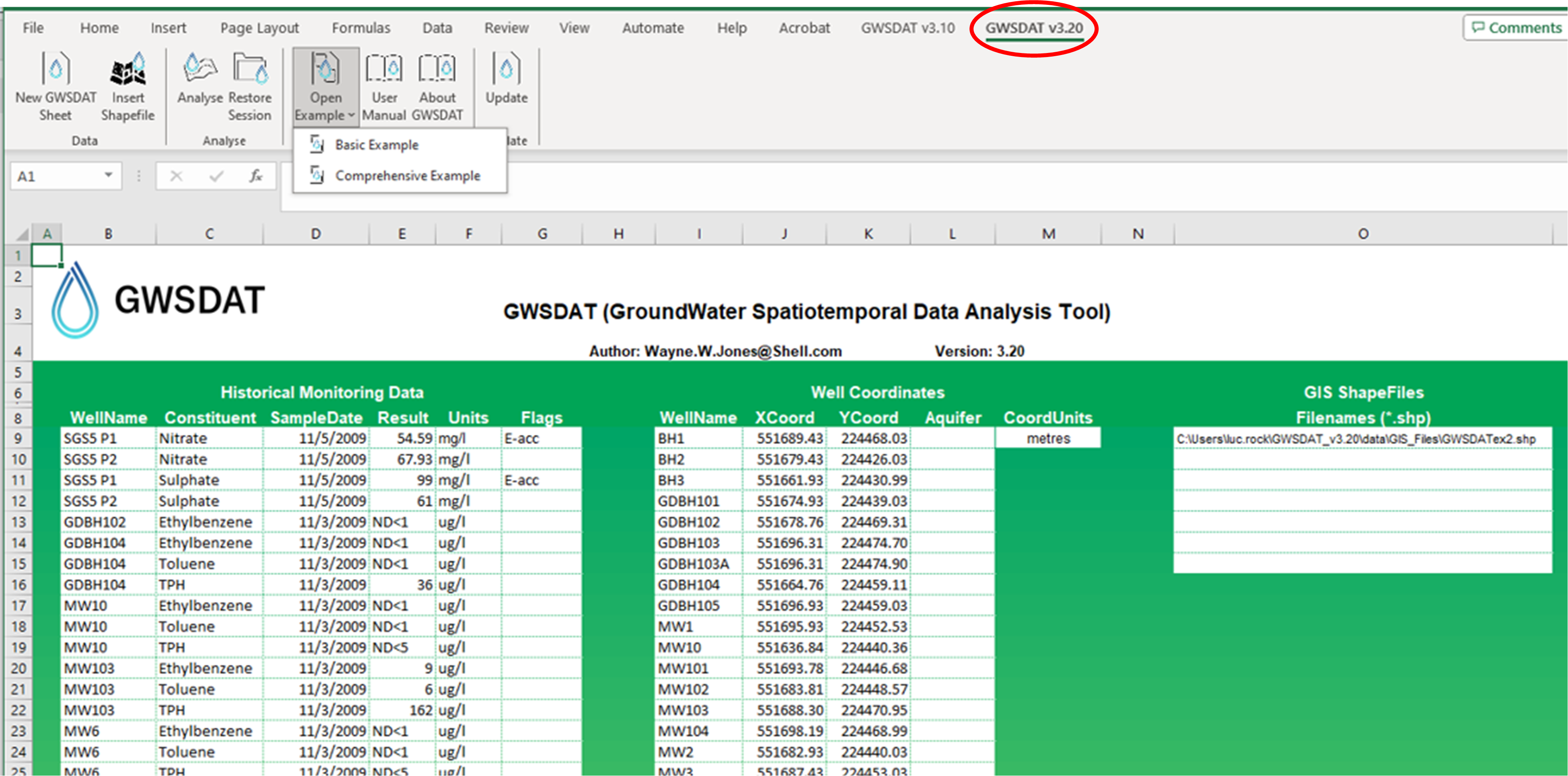
The GroundWater Spatiotemporal Data Analysis Tool (GWSDAT) has been developed by Shell Global Solutions for the analysis of groundwater monitoring data. It is designed to work with simple time-series data for solute concentration and ground water elevation, but can also plot non-aqueous phase liquid (NAPL) thickness if required.
Spatial data is input in the form of well coordinates, and wells can be grouped to separate data from different aquifer units. The software also allows the import of a site basemap in GIS shapefile format. Concentration trend and 2D contour plots generated using GWSDAT can be exported directly to Microsoft PowerPoint and Word to expedite reporting.
Software Architecture
The application is supported for Windows 8 & 10 and the corresponding version of Microsoft Office (including 64-bit operating systems). Data input to GWSDAT is via a standardized Excel spreadsheet and the data analysis and plot functions are accessed through an Excel Add-in application.
The statistical engine used to perform geo-statistical modelling and display graphical output is the open- source statistical programming language R (www.r-project.org). A user manual and two example datasets are provided with the software for training and demonstration purposes.